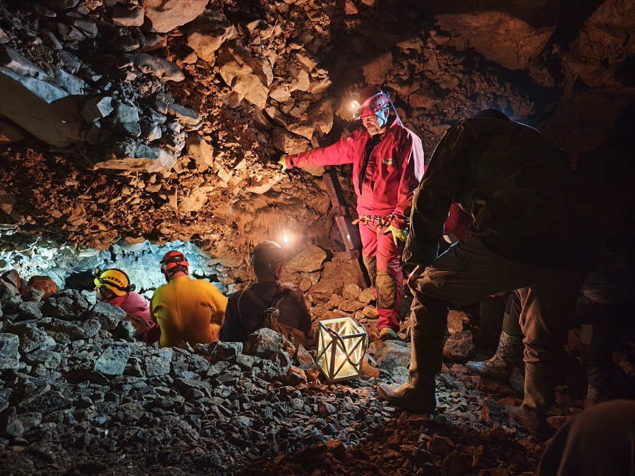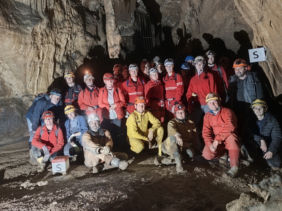


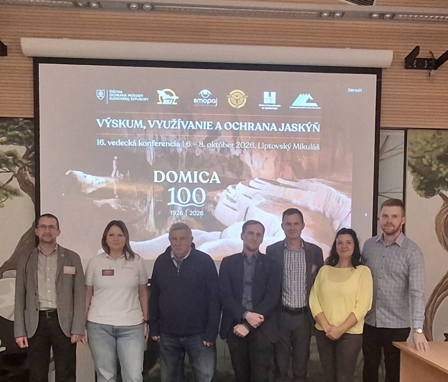
One hundred years after the discovery of Domica Cave, the scientific community is marking this important anniversary by presenting new knowledge about its development, ecology, subterranean fauna, and, in particular, modern spatial mapping. Researchers from the Faculty of Science of Pavol Jozef Šafárik University in Košice also presented the results of their long-term research at the scientific conference Research, Use and Protection of Caves.

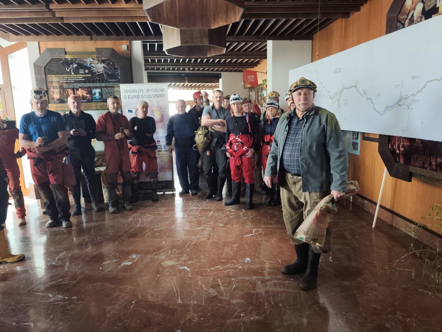
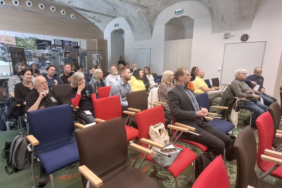
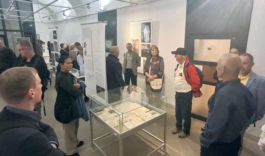
The 16th scientific conference Research, Use and Protection of Caves, held from 6 to 8 October 2026, focused prominently on the 100th anniversary of the discovery of Domica Cave. The programme included scientific presentations, an exhibition dedicated to the centenary of Domica, a field excursion to the cave, and a ceremonial gathering in Rožňava.
The Faculty of Science of UPJŠ was strongly represented at the conference, particularly by researchers from the Institute of Geography and the Institute of Biology and Ecology. Research on Domica is an excellent example of long-term cooperation among geographers, geoinformaticians, speleologists, and biologists, combining traditional cave exploration with modern technologies and detailed scientific investigation of the karst environment.
From Kilometres of Cave Passages to a Detailed 3D Model
One of the main contributions from the Institute of Geography was presented by Jozef Šupinský, who, on behalf of the research team, introduced the use of terrestrial laser scanning of Domica Cave and the resulting spatial data for cartography, cave-flood modelling, and online data sharing.
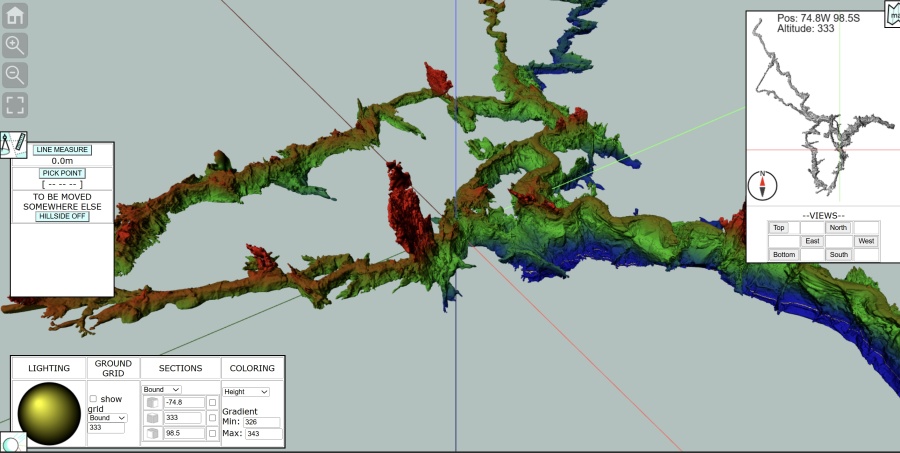
Over several years, researchers and collaborators from the Institute have participated not only in scientific research on Domica but also in speleological exploration and the discovery of previously unknown cave passages. Using terrestrial laser scanning (TLS), they gradually documented approximately 10 kilometres of cave passages. The result is an exceptionally detailed and geometrically accurate three-dimensional model of the cave system.
The model can be explored online as an interactive 3D point cloud or as a simplified 3D surface model of the cave.
Laser scanning makes it possible to capture complex underground spaces as dense 3D point clouds and subsequently derive maps, transverse and longitudinal profiles, and three-dimensional visualisations. Such data also provide an accurate digital record of the current state of the cave and form a basis for further geomorphological and environmental research, documentation of newly discovered passages, and long-term monitoring of changes.
The research team at the Institute of Geography has been applying laser-scanning methods in Domica Cave for many years, and the results have already been published in international scientific journals.
From Speleological Exploration to a New Map of Domica
An important part of the conference was also devoted to the history of exploration and mapping of Domica Cave. Zdenko Hochmuth, former director of the Institute of Geography and an experienced speleologist, presented on behalf of the authors the contribution Research, Exploration and Mapping of Domica Cave by Members of the UPJŠ Speleoclub and the Institute of Geography, Faculty of Science P. J. Šafárik University in Košice.
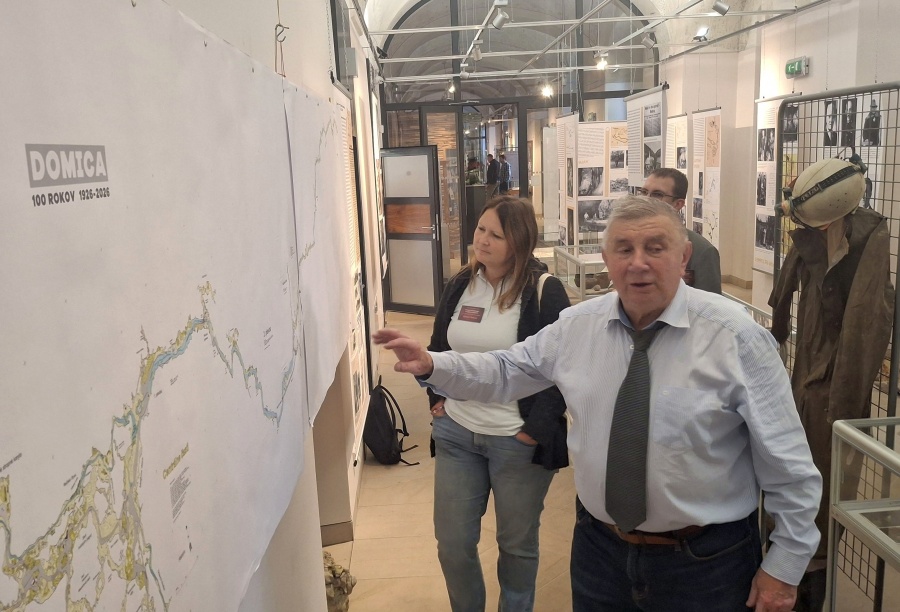
The contribution highlighted the long-standing connection between scientific research at UPJŠ and practical speleological exploration.
Zdenko Hochmuth also presented a new map of Domica Cave, prepared for the exhibition commemorating the 100th anniversary of the cave’s discovery at the Slovak Museum of Nature Protection and Speleology in Liptovský Mikuláš. The map has been produced at a scale of 1:400 and is almost five metres long.
The new map symbolically links two stages in our understanding of the underground environment: traditional speleological surveying and cartography on the one hand, and modern LiDAR, GIS, and 3D modelling techniques on the other. Combining detailed field knowledge of the cave with precise geospatial data makes it possible to develop an increasingly comprehensive picture of its spatial structure.
Karst as a Dynamic Natural System
Research at UPJŠ extends well beyond the mapping of underground spaces. Alena Gessert, Imrich Sládek, and student Jakub Mikloš presented results from the Silica locality on the Silická Plateau, focusing on carbonate content in soils. Their research contributes to a better understanding of processes operating in karst landscapes and of the relationships between soils, carbonate bedrock, and the wider karst system.
Water was another important theme of the conference, ranging from long-term hydrological monitoring of Domica Cave to the chemical properties of water in karst aquifers. The programme demonstrated that caves cannot be understood in isolation from processes taking place at the surface—from water infiltration through soil and bedrock to its subsequent movement through underground karst systems.
Research on Domica Continues a Century After Its Discovery
One hundred years after its discovery, Domica Cave remains an important and dynamic subject of scientific research. The participation of researchers from the Faculty of Science of UPJŠ at the conference reflects the University’s long-standing tradition of karst and cave research and its ability to integrate geography, geoinformatics, speleology, and biological sciences.
This interdisciplinary approach, together with modern technologies, allows us to study Domica today with a level of precision and in a range of scientific contexts that its discoverers a century ago could hardly have imagined.
Cave Fauna as an Indicator of Climate Change
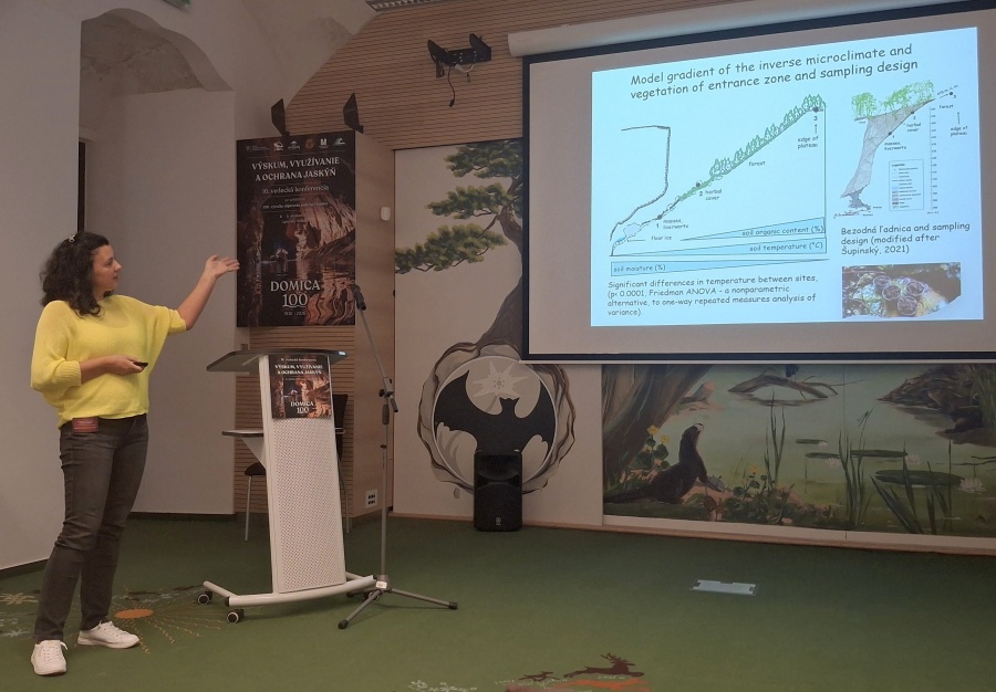
Scientists from the Institute of Biology and Ecology of the Faculty of Science, UPJŠ were also strongly represented. Natália Raschmanová, on behalf of the research team, presented research on springtails (Collembola) as indicators of climate change in the entrance zones of ice caves.
In another contribution, PhD student Michal Hurka presented research on springtail communities along a microclimatic gradient in a doline near the Paradana Ice Cave in Slovenia.
These findings demonstrate that even small soil- and cave-dwelling invertebrates can respond very sensitively to changes in temperature and microclimatic conditions. Caves and their entrance zones therefore represent valuable natural laboratories in which the biological consequences of a changing climate can be investigated.