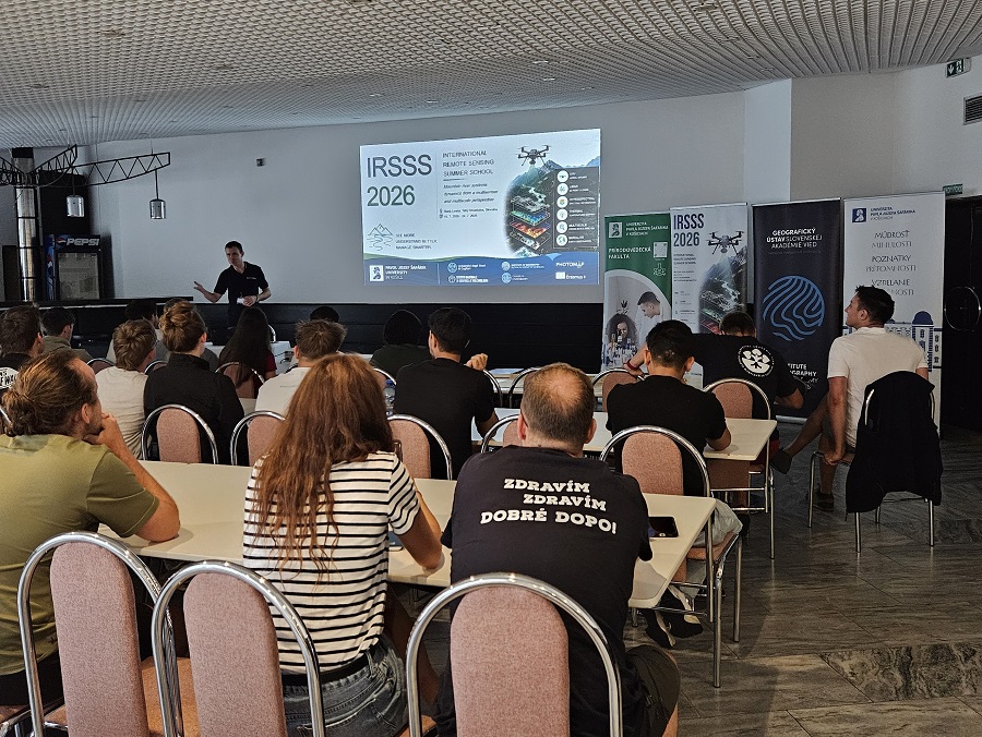




Modern mapping using satellites and drones, combined with field research, brought students and young scientists from several countries to Stará Lesná. The IRSSS 2026 International Summer School demonstrated how the University of Pavol Jozef Šafárik in Košice (UPJŠ) integrates geography, geoinformatics, and remote sensing with practical instruction and international research.
For six days, the High Tatras became a place where modern technologies, field research, and international education converged. From July 19 to 24, 2026, the International Remote Sensing Summer School 2026 took place at the Academia Congress Center of the Slovak Academy of Sciences in Stará Lesná.
The event was organized by the Institute of Geography at the Faculty of Science of UPJŠ in Košice as a blended intensive Erasmus+ BIP program. The online preparatory phase was supplemented by an intensive in-person program in the High Tatras. The main topic was the dynamics of mountain river systems, studied using field measurements, drones, satellites, and modern methods of spatial data processing.
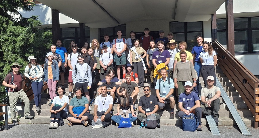
IRSSS 2026 Faculty Team:
Michal Gallay, Katarína Onačillová, Michaela Nováková, Ján Šašak, Jaroslav Hofierka, and Jozef Šupinský (UPJŠ);
Miloš Rusnák, Lukáš Michaleje, Ashraf M.D., and Hamid Afzali (Institute of Geography, Slovak Academy of Sciences);
Maria Teresa Melis and Salvatore Noli (University of Cagliari);
Massimo Musacchio and Federico Rabuffi (INGV, Italy);
Daniel Paluba (Charles University, Czech Republic);
Ján Kaňuk and Róbert Romšák (PHOTOMAP s.r.o. Slovak Republic).
From Field Observations to Satellite Imagery
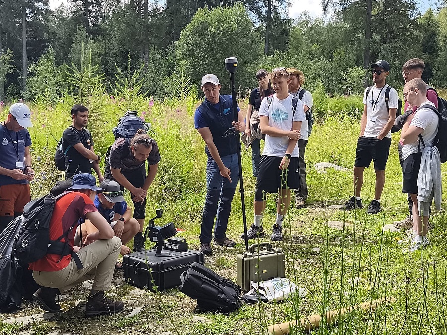
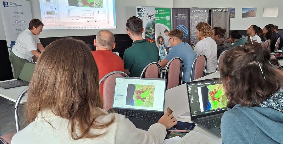
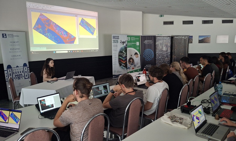
The summer school program combined field research with laser scanning, hyperspectral and thermal imaging, photogrammetry, and satellite Earth observation. Participants worked with lidar point clouds, digital elevation models, Sentinel satellite data, and the Google Earth Engine and Copernicus cloud platforms. At the same time, they learned to use freely available software and programming tools so they could work with geodata even without expensive commercial licenses. Special attention was given to Copernicus data, which constitute one of the fundamental open-access databases for monitoring the landscape, environment, and climate worldwide. As noted by the summer school coordinator, Associate Professor Michal Gallay from the Institute of Geography at the Faculty of Science, UPJŠ the aim was to show students the entire workflow, from observing processes directly in the field, through data collection using drones and ground-based measurements, to data processing, modeling, and interpretation. This combination of multiple technologies allows for a better understanding of how the mountain landscape is changing and how it responds to extreme events such as floods, fires, or windstorms.
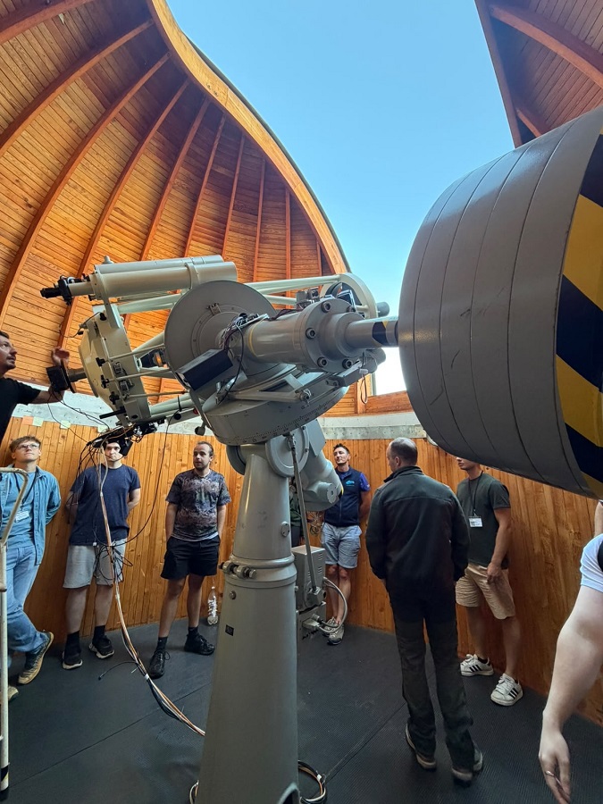
The High Tatras represent a unique natural laboratory for both teaching and research. Participants monitored long-term changes in the High Tatra landscape, including the recovery of forest stands following the 2004 windstorm and changes in the river environment following the 2018 flash flood in Stará Lesná.
Drones Equipped with Lidar, Thermal, and Hyperspectral Cameras
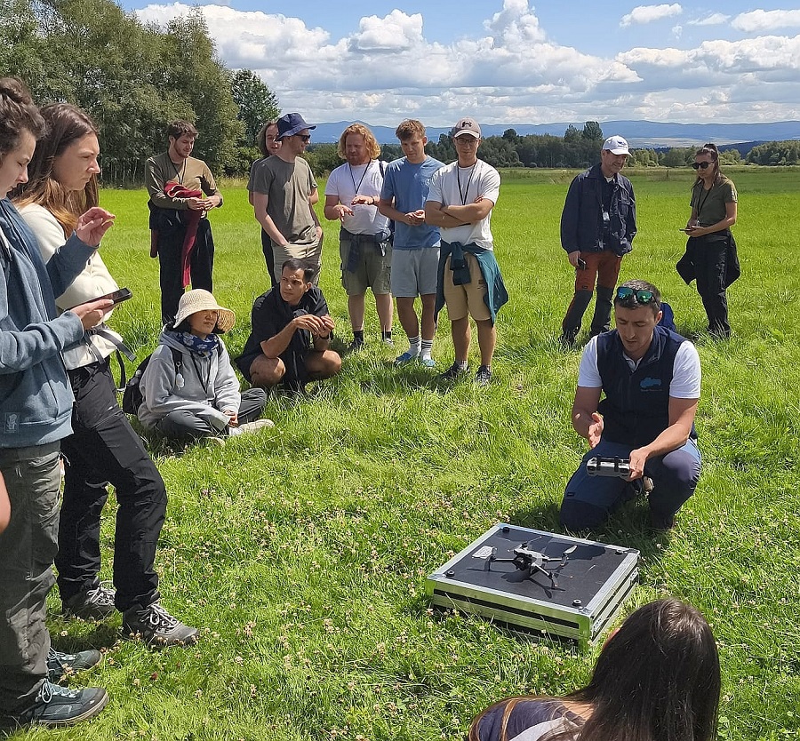
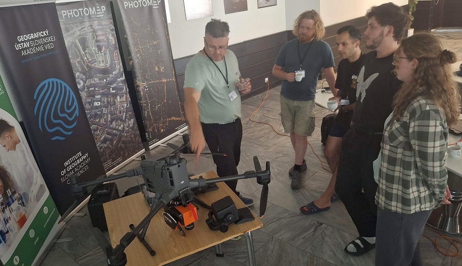
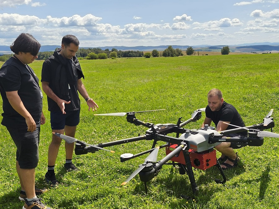
One of the highlights of the program was field demonstrations of modern unmanned aerial vehicles (UAVs). Participants learned about lidar mapping using the DJI Zenmuse L2 system, hyperspectral scanning with SPECIM sensors on DJI Agras T30 and DJI Matrice 400 multicopters, as well as thermal and photogrammetric mapping of the landscape. Students practiced navigation and flight operations, flight mission planning, sensor calibration, positioning using global navigation satellite systems, and quality control of the acquired data. During the practical exercises, they processed 3D point clouds from aerial and ground-based laser scanning, created digital terrain and surface models, analyzed river sediments, and modeled surface water runoff in the GRASS GIS environment.
International Collaboration
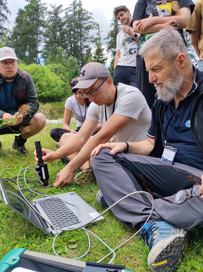
The summer school brought together 31 participants from nine institutions and five countries. Universities and research institutions from Slovakia, the Czech Republic, Romania, Italy, and South Korea were represented. The international team of experts contributed a wide range of topics to the program. The Institute of Geography of the Slovak Academy of Sciences in Bratislava focused on river monitoring, changes in river channels, photogrammetric mapping, and riparian vegetation. The University of Cagliari in Italy focused on mapping forest fires and assessing the risk of their occurrence using satellite data. Charles University in Prague provided instruction on geographic analyses using cloud computing to understand global and regional landscape changes. Experts from INGV in Rome presented the collection of validation spectral measurements of various materials, minerals, and plants using the ASD FieldSpec field spectrometer. UPJŠ, in collaboration with PHOTOMAP, facilitated drone-based data collection, including lidar, hyperspectral, thermal, and photogrammetric imaging, as well as the classification of hyperspectral data and its fusion with lidar for more accurate land cover mapping.
Practical experience and new scientific contacts
The participants were not merely listeners to lectures. They worked in international groups, operated equipment in the field, processed the collected data, and discussed ways to use it for monitoring environmental changes – all of which helped them establish connections that may continue during their thesis projects, doctoral research, or future careers.
The summer school also showcased the opportunities for studying geography and geoinformatics at UPJŠ. Students in bachelor’s, master’s, and doctoral programs can work with modern remotely piloted aerial systems, laser and hyperspectral sensors, satellite data, and advanced geographic information systems. The program includes field research, working with real-world data, and collaboration with foreign universities and research institutions.
- The organizers would like to thank the administration of Pavol Jozef Šafárik University in Košice and the Department of International Relations and Internationalization at UPJŠ for their support in preparing and conducting the summer school through the Erasmus+ Blended Intensive Program.
Media Coverage
National and regional media outlets, including TASR, Teraz.sk, Korzár, and the Bleskovky portal, also reported on the event. The University of Cagliari also helped boost the event’s international visibility by highlighting the participation of its faculty and students, as well as its collaboration with UPJŠ, on its social media channels. IRSSS 2026 thus contributed to raising the profile of the university and Slovakia within the international academic community.